Access Site 88 data on A2O data portal.
| Site name: Staaten River National Park West |
| Site number: 88 |
| Point numbers: 349 (Staaten River National Park West Dry A), 350 (Staaten River National Park West Wet A), 351 (Staaten River National Park West Dry B), 352 (Staaten River National Park West Wet B) |
| Ecoregion: Tropical and subtropical grasslands, savannas and shrublands |
| Participant and site owner: Queensland Parks and Wildlife Service |
| Site location: Far North Queensland |
| Latitude: -16.560 |
| Longitude: 142.270 |
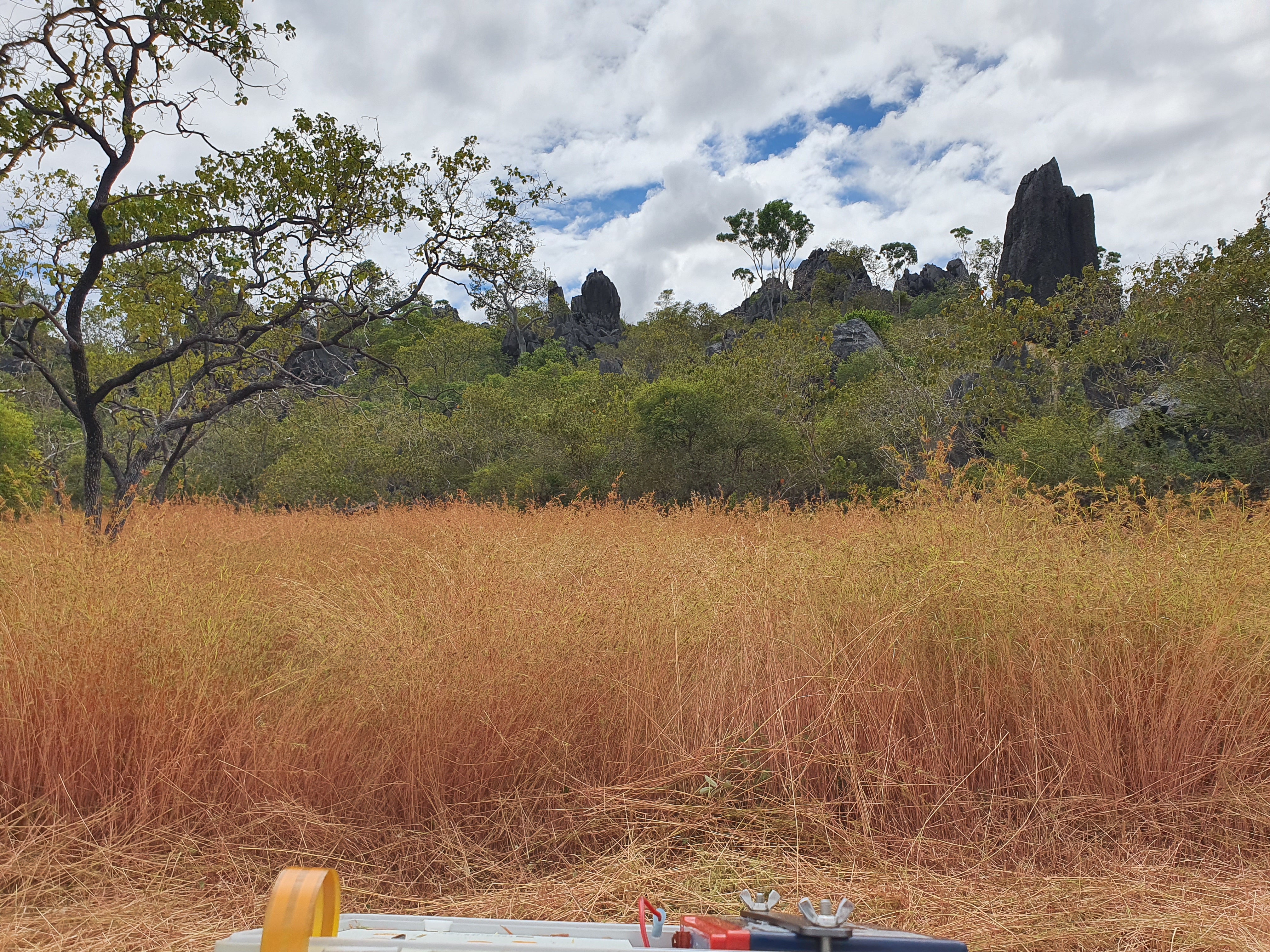
| Site description: Staaten River National Park encompasses an extensive section of the least modified tropical savannas in Queensland. The vegetation is savanna woodland dissected by ephemeral streams with a small number of permanent or semi-permanent waterholes. |